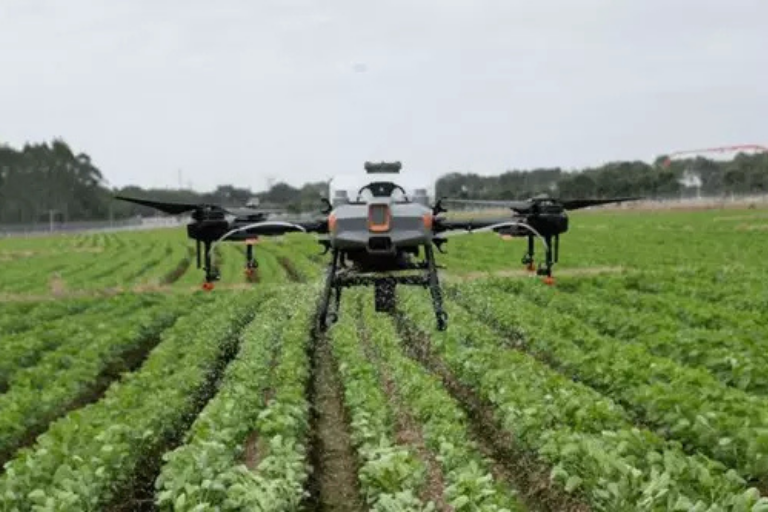
Modern Use of Drones in Agriculture
In the rapidly changing world of agriculture, today’s farming operations look quite different from just a few decades ago. New technology has enabled modern growers to optimize every part of their operations, from crop spraying to cultivation cycles and crop health monitoring.
Much of this transformation can be attributed to drones and other unmanned aerial vehicles (UAVs). With an agricultural drone, farmers now have tools that can handle not only deep data analysis and mission planning but also physical fieldwork.
Whether you are an independent farmer or leading a larger organization, drone technology can help you exceed your harvest goals and achieve higher yields with fewer resources. Two of the main ways the right UAV and payload can help are through efficient crop spraying and field mapping.
Spraying a Field with a UAV
DJI’s Agras series of spraying drones can help deliver:
- Fertilizers
- Herbicides
- Fungicides
- Insecticides
- Seeds
- Desiccants
Applying these substances efficiently is a constant challenge for any grower. If you spray too much in one area, you risk higher costs and potentially lower crop quality.
On the other hand, too little concentration leaves your crops vulnerable to overgrowth from weeds, undernourishment, or damage from insects and other pests—ultimately lowering yield rates.
However, the right agricultural drones and spraying payloads can distribute chemicals evenly and efficiently.
Result: Improved crop quality and higher yields without intensive manual labor. DJI drones can be used on nearly all types of crops, including rice, wheat, corn, citrus trees, cotton, and more.
Environmental Benefits and Efficient Land Use
Beyond covering more land at a lower cost, drone-based spraying also provides important environmental benefits. Drones can distribute pesticides more precisely, allowing you to use less while achieving the same overall effect.
UAV seeding can also help maximize the efficient use of your land. As climate change and development continue to reduce the total amount of farmland available worldwide, efficient land use will be key to maintaining successful yields in the coming years.
Using Drones to Collect Data for Precision Agriculture
Smart spraying and seeding aren’t the only ways to improve overall agricultural efficiency, reduce costs, or increase yields. Drones can also be used to map an area and generate new insights.
Remote Sensing and Mapping Technologies
One of the key components of this process is remote sensing technology, which collects radiation from the ground and tracks everything from physical characteristics to the amount of heat an area produces.
The best agricultural mapping drones take this concept further through multispectral imaging. This means they can capture both visible and invisible light sensors across specific ranges. With this type of agricultural drone, two main types of maps can be created:
RGB Maps
These provide a bird’s-eye view of the field. Even a basic Red-Green-Blue (RGB) map can reveal valuable information. Such maps allow you to see exactly how much land is under cultivation down to the centimeter and help track crop growth over long periods, allowing adaptation from season to season.
NDVI Maps
The Normalized Difference Vegetation Index (NDVI) takes the insights of an RGB map a step further. This map shows the amount of infrared light reflected from an area, which is an indicator of malnutrition or drought.
According to Go Intelligence, this type of data collection can detect problem crops up to two weeks before physical symptoms appear, making it an invaluable tool for farmers trying to accurately forecast yield rates.