About the programme
For anyone who wants to learn.
A hobby training programme for anyone who wants to learn how drones are used in agriculture.
Only a certificate of attendance is issued at the end — it is not an approved certificate and has no official status.
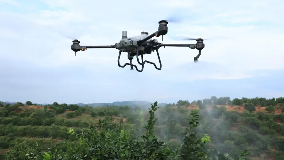 Practice
With DJI Agras in the field
Theory and practice
Hands-on training in class and in the field.
International standards
Content in line with ICAO and regional aviation rules.
Real equipment
Field practice with DJI Agras T50 / T70P and DJI Mavic 3M.
Certificate of attendance
Participants who complete the training receive a certificate of attendance.
General requirements
- Citizens of Azerbaijan aged 18 or over
- At least secondary-school education
- Basic English (ICAO Level 2)
Who is it for?
- Farmers and agronomists
- Specialists who want to use drones in industry
- Young entrepreneurs seeking a new profession
- Anyone who wants to learn drones as a hobby
Curriculum.
36 hours: a theory part and three practical modules — with real DJI equipment, in the field.
Core part · 12 hours
Theory
- UAV rules and agricultural flights
- Crop-protection products: type, label, dose, mixing
- Meteorology: wind, temperature, humidity, drift
- The DJI Agras system: radar, RTK, spraying and spreading
- Safety and personal protective equipment
Module 1 · 10 hours
Drone spraying
- Setting up the DJI Agras T50 / T70P
- RTK base and network RTK
- Mapping field boundaries and obstacles
- Rate (L/ha), height, speed and spray width
- Choosing nozzles and droplet size, reducing drift
Module 2 · 6 hours
Fertilising and seeding
- Fitting the spreading system
- Calibration: granule size and flow
- Rate (kg/ha) and hopper calculation
- Zone spreading from a prescription map
Module 3 · 6 hours
Multispectral analysis
- Flight planning with DJI Mavic 3M
- Sunlight sensor and calibration
- Producing NDVI / NDRE maps
- Interpreting problem zones and the prescription map
Final · 2 hours
Assessment
- Practical flight in the field
- Written test
- Awarding the certificate of attendance
Application
Training application form
Fill in the form and we'll get back to you as soon as possible.
Contact