A virtual replica of a real asset, running on live data.
Oblique photogrammetry with DJI Matrice 4E and LIDAR with Matrice 400 + Zenmuse L3 — we build high-precision 3D models of buildings, sites and facilities.
Drone imagery is combined with live IoT sensor data to create a dynamic, interactive virtual model. Potential faults show up early — planned maintenance saves time, cost and labour.
Discuss your project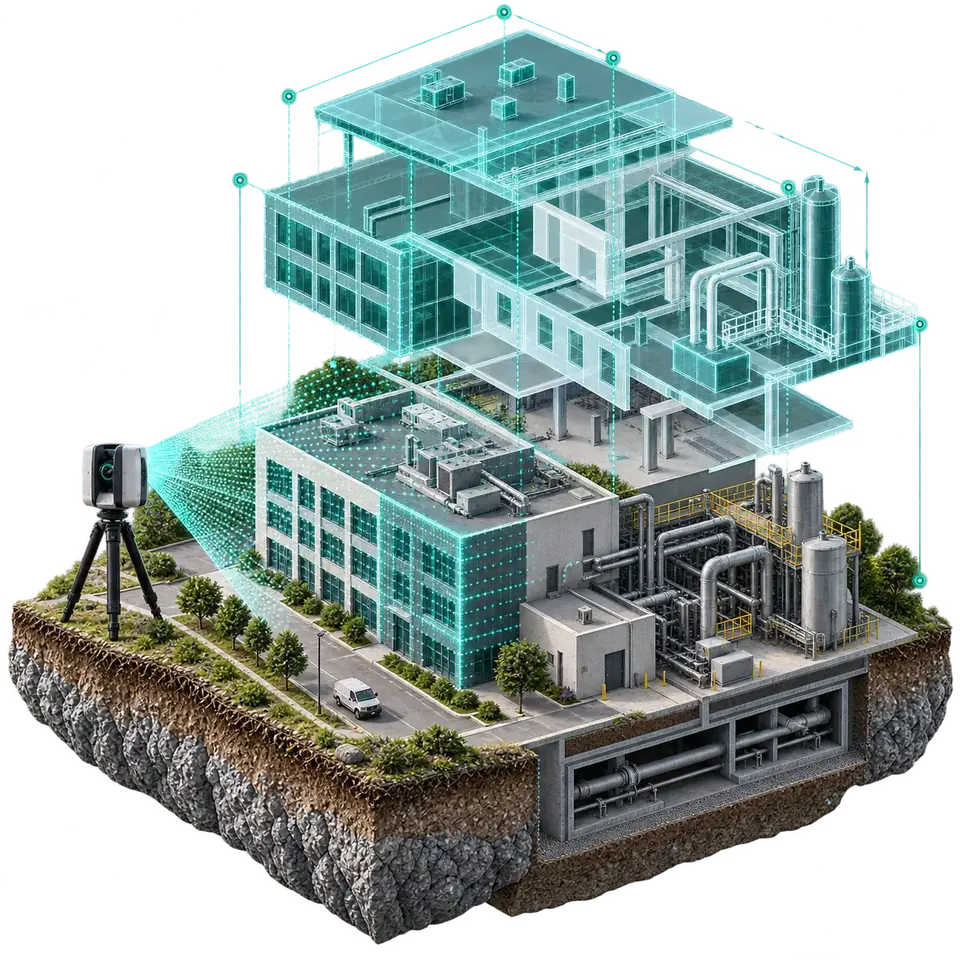
3D modelling
High-precision digital replicas of buildings and facilities.
Digital twin
A virtual replica of physical assets, run on live IoT sensor data.
Virtual tour
Interactive 360° walkthroughs of spaces from the air and the ground.
Smart real estate
A sales and presentation platform powered by 3D models and AI bots.
From capture to dashboard.
- Drone capture — Matrice 4E (photogrammetry), Zenmuse L3 (LIDAR).
- Processing — point cloud and precise 3D model.
- Integration — IoT sensors and existing systems.
- Delivery — web dashboard, virtual tour, report.
- Construction planning and infrastructure inspection
- Predictive maintenance at industrial plants
- Land analysis and project presentations
- Onboarding and health-and-safety training through virtual tours
- Real estate: a sales office in your pocket
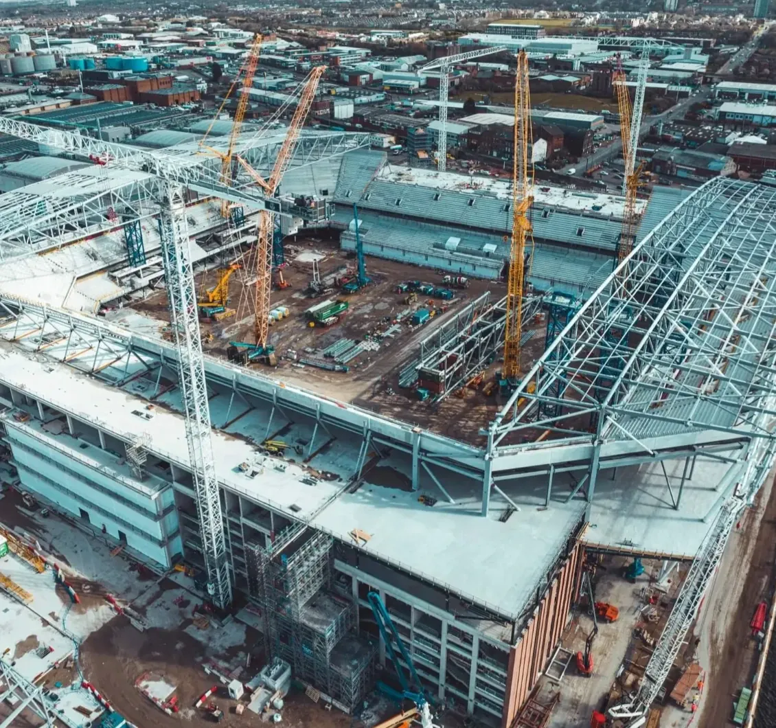 Construction
Construction progress monitoring
Regular drone surveys bring the project's real status into the digital model — plan and reality on one screen.
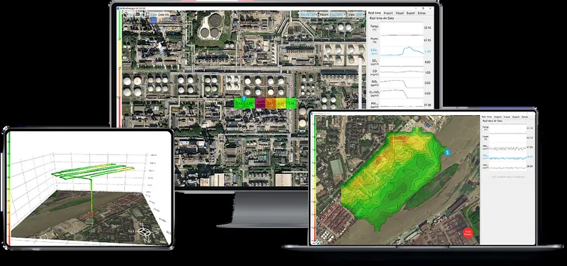 Dashboard
Sensor data on the map
On one screen, in real time.
Digital twin request
Tell us about your asset and goals — we'll choose the right solution together.