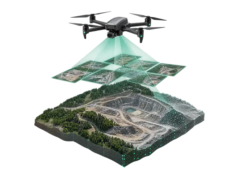
The most precise digital map of your site.
The drone scans the site with hundreds of overlapping photos, which become an orthophoto map, a digital surface model and a measurable 3D model.
Result: centimetre-accurate orthophotos, slope maps, volume and area measurements — far faster than traditional surveying.
Discuss your projectDJI Matrice 400
- Flight time up to 59 min
- Payload 6 kg
- Protection IP55
- Obstacles 360° LIDAR + radar
Zenmuse P1
- Sensor 45 MP full frame
- Lens 24 / 35 / 50 mm
- Horizontal 3 cm
- Vertical 5 cm
Zenmuse L3
- Range up to 950 m
- Returns up to 16
- RGB 2 × 100 MP
- Accuracy 3 cm @120 m
DJI Matrice 4E
- Wide camera 20 MP, mechanical
- Tele 48 MP × 2
- Flight time up to 49 min
- Per flight ~2 km² (5 cm GSD)
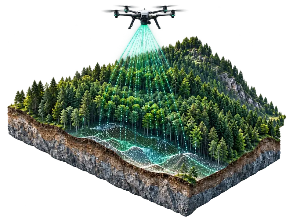
The true ground beneath the canopy.
- The method of choice when you need to see the true ground beneath tree cover.
- Multiple returns — the laser pulse passes between leaves; up to 16 returns are recorded per pulse.
- Result — dense point cloud, digital terrain model (DTM) and surface model (DSM).
- Where? — forested land, road and line corridors, drainage and erosion analysis.
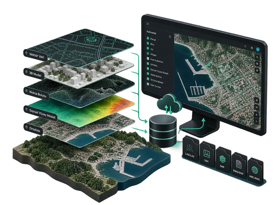
Measured data becomes living information in your own system.
- We turn raw geographic data into a queryable database that meets your organisation's standard.
- Layers — orthophoto, digital surface model, point cloud, 3D building model and vector data.
- Formats — LAS/LAZ, GeoTIFF, SHP, DWG/DXF, KML/KMZ.
- Integration — works directly with your existing GIS and engineering software.
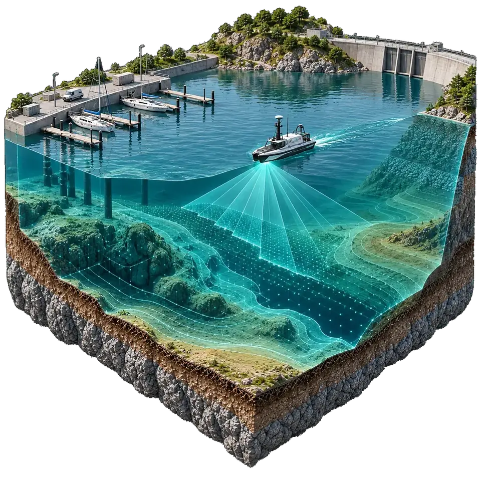
A map of the terrain beneath the water surface.
- The underwater bed is measured with sonar (echo sounder) and merged with the drone map into a single model.
- Where? — reservoirs, lakes, ports, canals and dams.
- Result — depth maps, isobaths, sediment and volume calculations.
Orthophoto map
45 MP full-frame sensor; 3 cm horizontal, 5 cm vertical accuracy.
3D model
Measurable 3D replicas of sites, buildings and facilities from oblique capture.
Slope map
Terrain, slope and water-flow analysis.
Survey report
Documented area, volume and distance measurements.
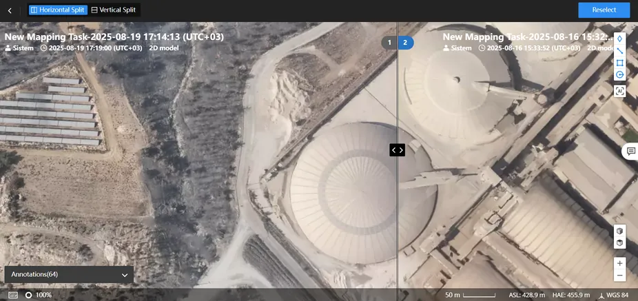 Software
From flight plan to orthophoto
Mapping task, result and comparison — on one screen.
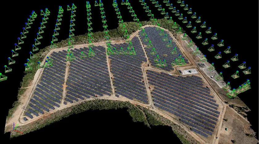 3D model
3D model of a solar plant
A measurable model from photogrammetry.
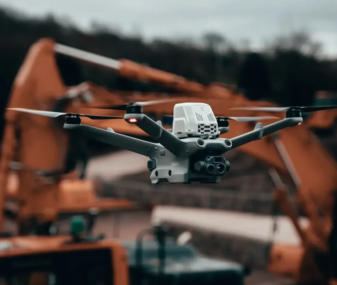 3D modelling
The most realistic digital replicas.
Measurable 3D models of construction, mining and infrastructure sites — for planning and presentations.
See digital twin →Who is it for?
- Agriculture — land surveying, planning, drainage analysis
- Construction — project planning and progress monitoring
- Mining — volume calculations and site monitoring
- Infrastructure — road, line and facility maps
- Water management — reservoir and canal bathymetry
- Environment — monitoring land changes
Mapping request
Tell us about your site and goals — we'll choose the right solution together.