 Core · Official certificate
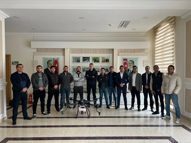
UAV pilot certification training
36 hours · Approved Drone Pilot Certificate — verifiable by FIN code.
Choose →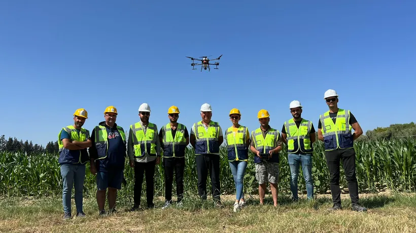 Core · Hobby and professional
Agricultural drone training
36 hours · Spraying, fertilising and seeding, multispectral analysis modules.
Choose →Agricultural drone training.
Spraying, fertilising and analysis — three modules, one programme.
Drone spraying operator
Professional field spraying with DJI Agras T50 / T70P.
- Flight plan, RTK and obstacle radar
- Dose, spray width and droplet size
- Safe chemical mixing
Agras T50 · T70P
View programme →Fertilising and seeding
Even, zone-based spreading of granular fertiliser and seed.
- Calibrating the spreading system
- Rate and hopper calculation
- Zone spreading by map
Agras T50 · T70P spreading system
View programme →Multispectral analysis
Reading crop health before the eye can see it.
- Flight planning with Mavic 3M
- NDVI / NDRE maps and interpretation
- Building a zone application map
DJI Mavic 3M
View programme →Mapping and GIS training.
From photogrammetry to LIDAR and digital twins.
Photogrammetry and orthophoto
Centimetre-accurate maps and 3D models.
- Flight plan, overlap and GSD
- Ground control points (GCP)
- Processing orthophotos and 3D models
Matrice 400 + Zenmuse P1 · Matrice 4E
View programme →LIDAR and GIS
The true ground under tree cover and GIS-ready data.
- Point clouds with Zenmuse L3
- DTM / DSM and terrain analysis
- GIS integration via SHP, GeoTIFF, LAS
Matrice 400 + Zenmuse L3
View programme →Digital twin and 3D modelling
A measurable digital replica of the asset.
- Oblique capture and point clouds
- Building the 3D model
- 360° virtual tour
Matrice 4E · Zenmuse L3
View programme →Industry and corporate.
Special programmes for energy assets and companies.
Industrial inspection and thermal
Safe and precise inspection of energy assets.
- Power line, solar panel, wind turbine
- Interpreting thermal images
- Preparing the inspection report
Industrial drones with thermal cameras
View programme →Corporate operations training
Build your own drone team for large areas.
- Crew management and season planning
- Risk and safety procedures
- A custom programme for your company
Your fleet
View programme →Training application
Choose a programme and we'll contact you with dates and terms.