Why Azera DronesOne team.
One team.
Five services.
All regions.
- 24,000+ ha in agriculture, 3,986 ha mapped
- Centimetre accuracy with RTK, a report for every job
- Our own training centre: 87 industrial pilots
Our fleetDJI Agras · Matrice · Mavic
5 × Agrasspraying, spreading
M400P1 · L3 mapping
M4Eoblique 3D model
Mavic 3Mmultispectral analysis
3 cmmap accuracy
±10 cmRTK accuracy
Agriculture24,000+ ha
Mapping3,986 ha
Industrial pilots trained87
Digital twin2 projects
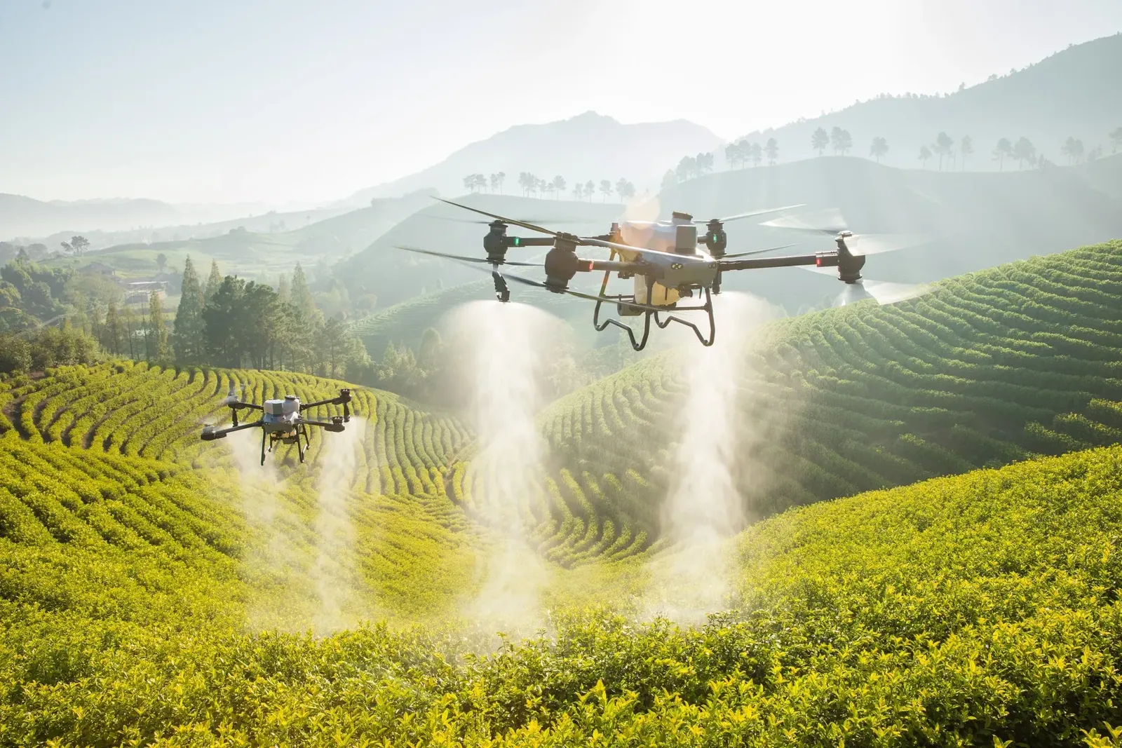
AgricultureDrone spraying
The same dose on every hectare, no crop trampling.
Learn more →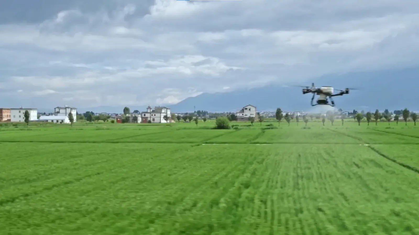 Agriculture
Fertiliser and seed spreading
Wide swath, even spreading.
Learn more →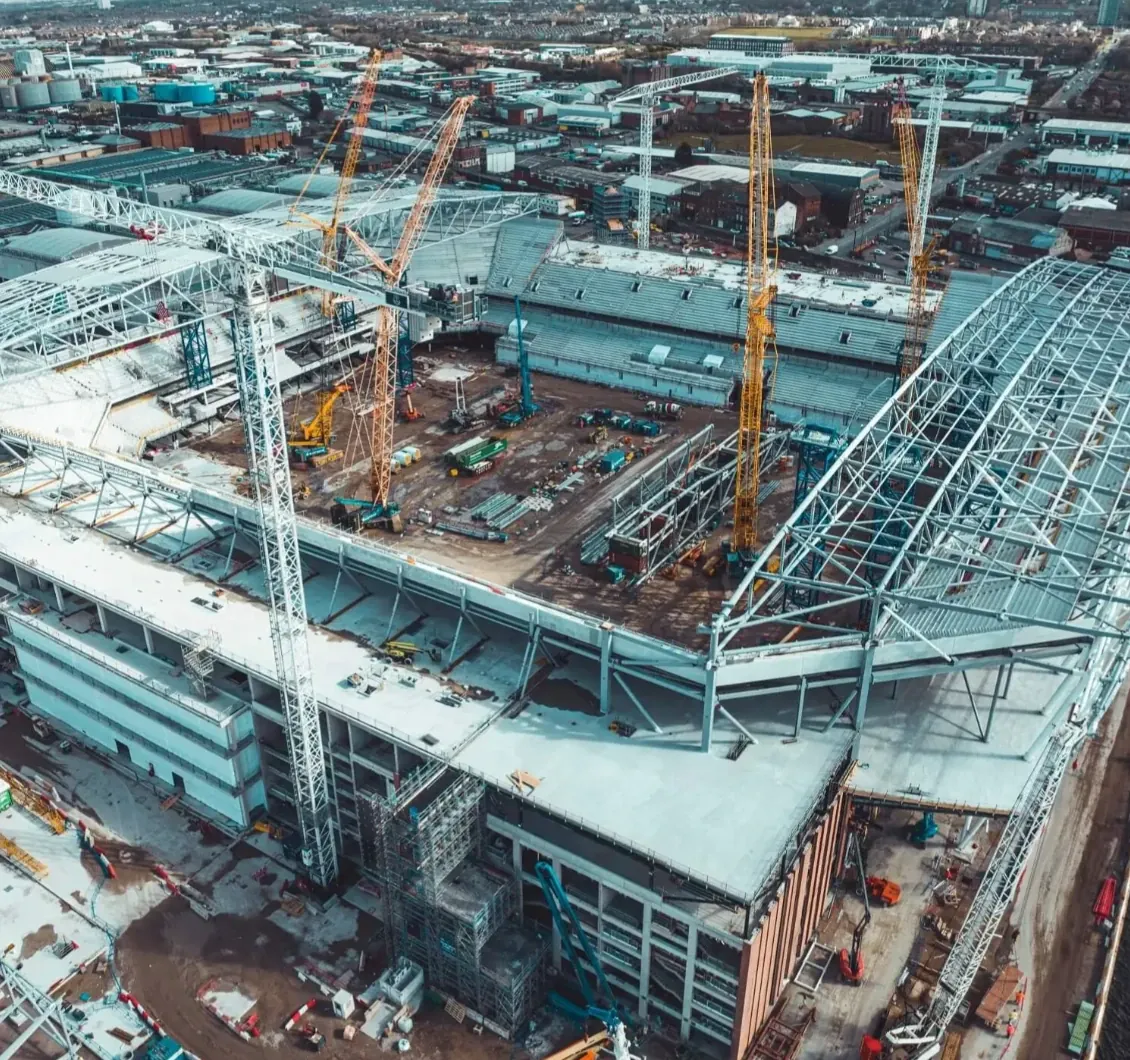 Mapping
Mapping and 3D models
Orthophotos and LIDAR with DJI Matrice 400 + Zenmuse P1 / L3.
Learn more →New service
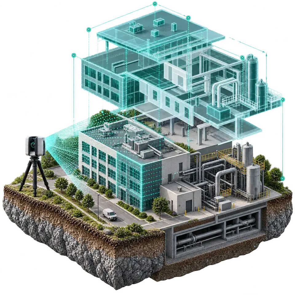
Digital twin
A precise drone-captured 3D model of your asset, managed live with sensor data. For construction, energy and real estate.
- 3D modelling
- Live IoT data
- 360° virtual tour
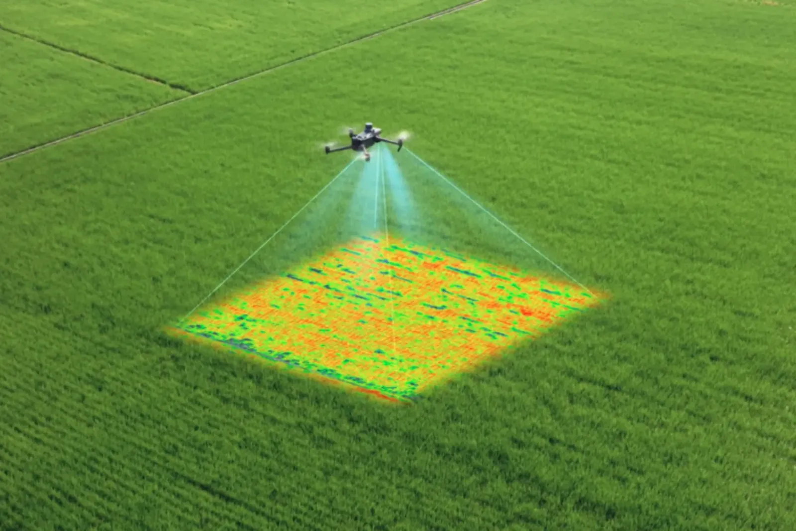 Analysis
Multispectral analysis
NDVI maps and problem zones with DJI Mavic 3M.
Learn more →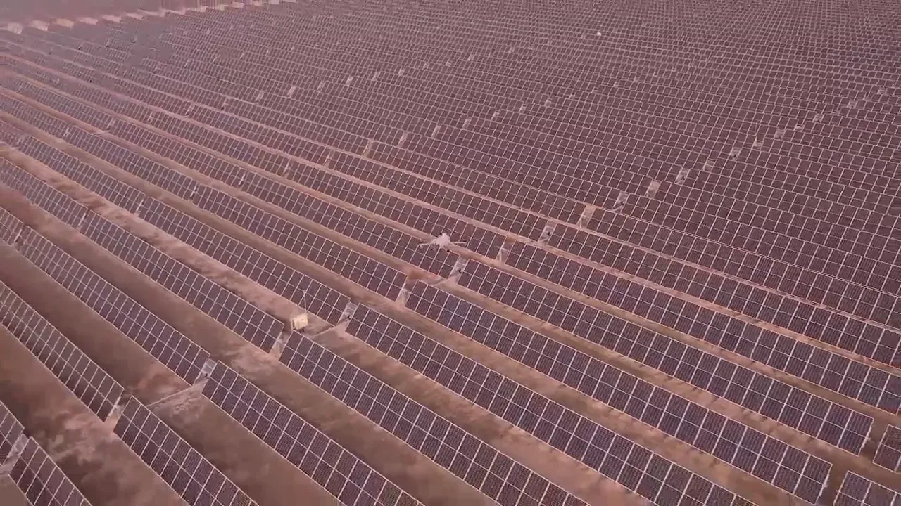 Industry · Events
Industrial inspection and drone shows
Solar plants, power lines, 3D maps · light swarms.
Learn more →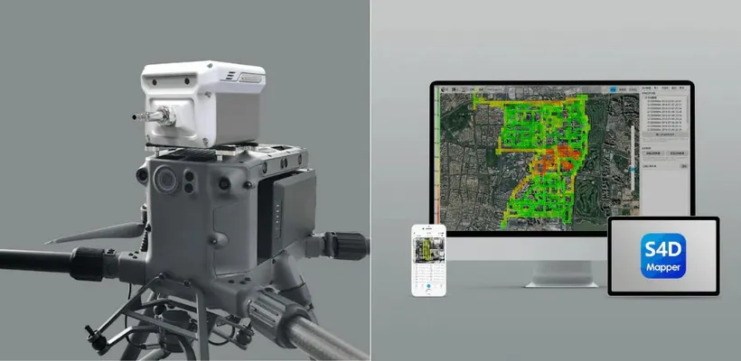 Air analysis
Drone gas measurement
Gas-leak detection and air-quality measurement at industrial sites.
Learn more →FAQ
How much area is covered per day?
About 100 hectares per drone. On large fields several drones work at once.
My field is under 20 hectares — what can I do?
Team up with neighbouring fields to reach 20 hectares in total — we'll gladly come.
How is the price calculated?
By crop, hectares, region and product. We send a quote shortly after receiving your details.
How can I verify a pilot certificate?
Using your FIN code in the “Certificate verification” section of the site.
Contact