Mapping and GIS
From measurement to data, from data to decisions.
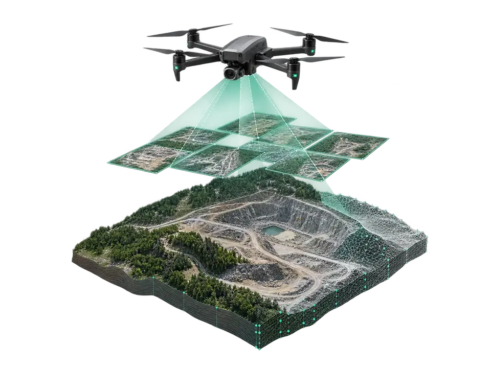
The programme covers the full drone photogrammetry and LIDAR chain: flight planning, ground control points, processing, quality control and GIS integration.
Training uses the DJI Matrice 400, Zenmuse P1, Zenmuse L3 and Matrice 4E equipment that Azera Drones uses on real projects.
Course details
- Duration 40 hours · 5 days
- Split 16 theory · 24 practical
- Group max. 8 people
- Prerequisite UAV certificate or flight experience
- Certificate Azera Drones training certificate
Who is it for?
- Surveying and cartography specialists
- Construction, mining and infrastructure engineers
- Agriculture and land-management specialists
- GIS staff of government bodies
- Pilots who want to start a mapping service
Curriculum.
Modules, hours and topics.
Module 1 · 6 hours
Surveying fundamentals
- Coordinate systems: WGS84, UTM
- GSD, overlap and flight altitude
- RTK, PPK and ground control points (GCP)
- Accuracy requirements and check points
Module 2 · 10 hours
Photogrammetry
- Matrice 400 + Zenmuse P1, Matrice 4E
- Flight planning in DJI Pilot 2: nadir and oblique
- Placing and surveying GCPs
- Orthophoto, DSM and 3D model in DJI Terra
Module 3 · 8 hours
LIDAR surveying
- How Zenmuse L3 works and multiple returns
- Flight parameters and scan density
- Point-cloud classification: ground, vegetation, buildings
- DTM, contour lines and cross-sections
Module 4 · 8 hours
GIS and data delivery
- Layers and vectorisation in QGIS
- Area, volume and distance calculations
- SHP, GeoTIFF, LAS/LAZ, DWG/DXF, KML
- A database that meets your organisation's standard
Module 5 · 6 hours
Digital twin and 3D
- Building models from oblique capture
- Mesh, texture and measurable model
- BIM / CAD integration
- Building a 360° virtual tour
Final · 2 hours
Project and assessment
- A full project on a real site: plan, flight, processing
- Accuracy report
- Presenting the results
At the end of the course
What will you be able to do?
- Plan and run a mapping project from scratch
- Produce centimetre-accurate orthophotos, DSMs and 3D models
- Derive terrain models from LIDAR point clouds
- Deliver results in formats ready for GIS and engineering software
Application
Mapping and GIS training — application
Fill in the form and we'll send the next group's dates and terms.
Contact